GIS for Education Working Group
Data-driven decision-making
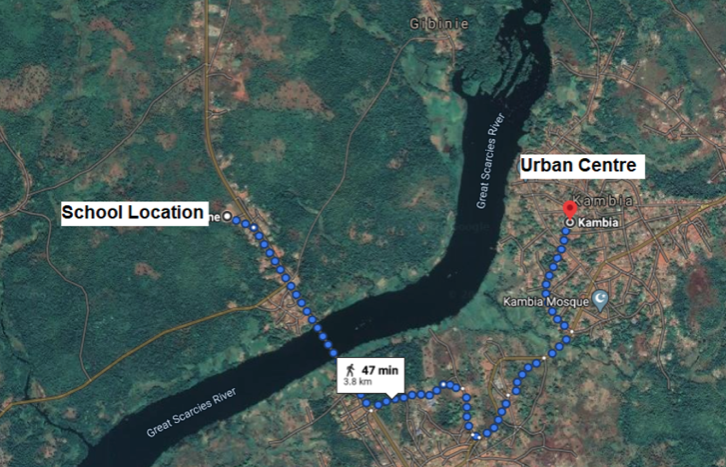
Reliable and timely data is essential for decisionmakers at all levels to deliver inclusive, equitable, and quality education for all. But visualizing this data with geographic information systems (GIS) helps leaders answer some of the most pressing questions in education: what are the disparities in learning outcomes across different communities? Which schools have access to technology and connectivity, and how does this compare between rural and urban areas? Where are teachers, staff, schools, and resources needed most?
The GIS for Education Working Group was established by the Education Commission and is co-chaired in partnership with the EdTech Hub to convene actors in and outside the education sector who are leveraging the power of GIS to advance SDG 4.
By strengthening collaboration and coordination amongst stakeholders, the working group aims to:
- Conduct a light-touch communications campaign on the need for, utility of, and cost-effectiveness of geospatial data and analysis for decision-making within the education sector
- Foster cohesion across education and non-education sector actors working with GIS to create and use existing data sets, share findings, and partner on specific projects
- Develop practical tools and documentation to support policymakers to undertake GIS- informed analysis for decision-making
- Explore new ways geospatial data can be used to visualize education issues at a global or regional level
If you are interested in joining the working group, please submit your interest here and we will be in touch about upcoming meetings.